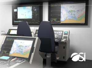
OSI Maritime Systems and CarteNav Partner for Integrated Mission Management System
This partnership brings together the maritime tactical decision aids within OSI’s WECDIS and the exceptional data fusion compilation capabilities of CarteNav’s AIMS-ISR mission software and their AIMS-C4 common operating picture (COP) software to integrate shore, maritime, and air-based C4ISR systems.
Copy and paste this URL into your WordPress site to embed
Copy and paste this code into your site to embed
